Bildunterschrift
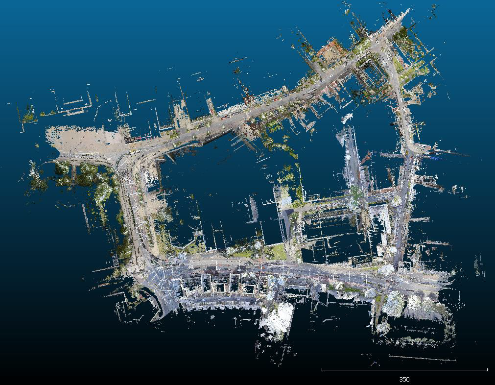
Figure 1: Point Cloud of the area around the TU-Darmstadt Main Building. The area is bounded by the Alexanderstrasse to the north, the Merckstrasse to the east, the Landgraf-Georg-Strasse to the south and to the west by the Schlossgraben (based on HERE Lidar data).